Technical Reports


Generic Design Coastal Erosion Volumes and Setbacks for Australia
2012

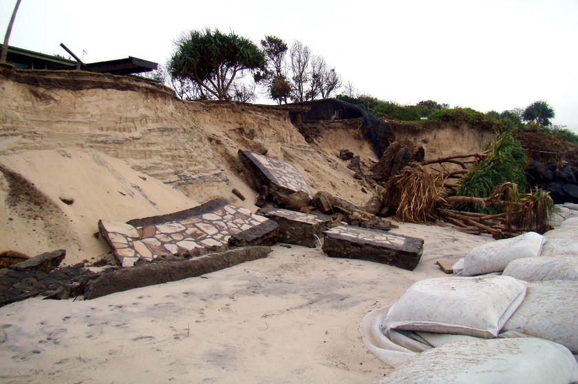
Numerical model predictions of coastal erosion volumes and setbacks at selected representative open coast, sandy beaches along the Australian coastline. Also, for a range of extreme storm events allow the assessment of storm erosion vulnerability on a regional level and provision of a range of storm erosion volumes along the Australian coastline and recession due to sea-level rise.

Discover More

Sea ice reports for the season 2011-2012
2012

This report is a compilation of weekly sea ice reports for the East Antarctic. The reports were prepared to support ship operations in the region during the season of 2011-2012. They were primarily used as guidance for the Australian Antarctic program, but were also provided to other Antarctic operators.

Discover More

Estimating present day extreme total water level exceedance probabilities around the coastline of Australia
2012

This report describes a study aimed at estimating present day extreme sea level exceedance probabilities due to tides, storm surges, tides and mean sea level (but exclusive of wind-waves) around the whole coastline of Australia.

Discover More

Government Coastal Planning Responses to Rising Sea Levels
2011

This report comprises a review of government coastal planning responses to rising sea levels. It covers responses by Australian federal and state governments plus the Northern Territory; responses by selected local councils in each state/Territory and selected jurisdictions overseas.

Discover More

Generic Design Coastal Erosion Volumes and Setbacks for Australia
2010

This report provides numerical model predictions of coastal erosion volumes and setbacks at selected representative open coast, sandy beaches along the Australian coastline.

Discover More

Shoreline Change at Roches Beach, South-Eastern Tasmania 1957-2010
2010

Persistent shoreline erosion at Roches Beach has been of concern to residents and others for several decades. The present study has measured shoreline change at Roches Beach during the period 1957 to 2005, through the use of ortho-rectified air photos from 1957, 1977, 1987 & 2001 and a high resolution QuickBird satellite image from 2005.

Discover More
 

Authorised by the CEO of the Antarctic Climate and Ecosystems Cooperative Research Centre October 2019.

The ACE CRC was established and supported under the Australian Government’s Cooperative Research Centres Program.

core participants


logo-dept-environment-bwlogo-niwa-bw

other participants

logo-iltslogo-fiologo-legos        logo-curtindownload (2)logo-tumsat-300x294

© ACE CRC 2019. All Rights Reserved.